| News Details |
Hydrological evaluation of the Saqlawiya irrigation project and its developmental dimensions
2023-05-07
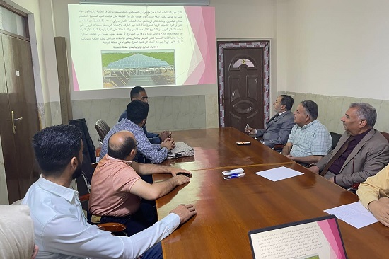
In continuation of the scientific plans followed by the administration and staff of the Upper Euphrates Basin Developing Centre in holding workshops and seminars, and in support of the new research staffs that joined the Centre, and to identify their research lines, the assistant instructor (Sulaf Taha Dawood) presented on Sunday, 7/5/202023 an important scientific seminar on: ((Hydrological assessment of the Saqlawiya irrigation project and its developmental dimensions)).
The panel discussion presented by the researcher on the study of the Saqlawiya irrigation project located in Anbar Governorate within the districts of Saqlawiya and AlGarma, with the aim of showing the level of its role as a development pole in developing spatial development levels within the beneficiary areas, which amount to an area of (707.1725 km2), which is located tectonically within the unstable pavement range, and that its geological history extends from the third geological time to the Quaternary sediments.
It has become clear through the study with its various scientific methods that there is no real and sound investment for the Saqlawiya irrigation project (as a growth pole) in light of the available development potential, especially the agricultural development possibilities, as the agricultural areas suitable for agriculture reached (226802) dunums, while the cultivated areas actually amounted to (47,299) dunums, and this means that (82.7%) of the land is not used for agriculture. The same is the case for the rest of the aspects, which reflected negatively on the backwardness of the economic structure, which requires within the framework of this study the formulation of strategies enhanced by development plans and development goals that can contribute effectively to enhancing the opportunities for developing spatial development levels within the study area if the decision-makers in the governorate have experience in the field of developing development plans and have seriousness in the field of development work.
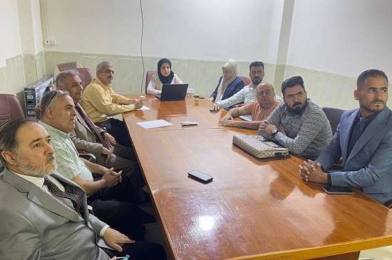
At the end of the panel discussion, which was attended by a number of researchers and specialists, the researcher pointed to the encouraging possibilities to exploit and invest the available tourism potential that works to develop the backward tourism reality of the region, as it was found that the region has large areas and archaeological areas close to urban centres, as well as it is away from the capital Baghdad (60 km), all of these factors combined help achieve spatial development if the following steps are followed:
A. Rebuilding what is on the reality ground in the depression (Khar Al-Ain) and developing it completely includes all parts of the excavation and lining and isolating it from the drainage as in the pictures (39) and rehabilitating the roads and archaeological facilities represented by the control tower of the Marshall Company and the old Saqlawiya water controller as it is a heritage that must be preserved, and this needs exceptional efforts to implement it, because what has been mentioned above suffers from neglect in all respects and aspects.
B. Redevelopment of archaeological areas and investment for the purpose of the recreational aspect through the planting of dense trees in the form of forests surrounding these areas image (40).
C. Proposing new tourism projects for the region in terms of establishing new various tourism activities upon redevelopment (low waste) due to:
- The need to increase the aesthetic of the city to attract the largest number of tourists.
- To increase the efficiency of tourism projects in the region, which returns a great economic return.
- It provides large areas of empty land that can be invested in the expansion process to plant trees and forests and feed them with water through the Khar Al-Ain depression by drip irrigation.
- Providing a typical sports field near the Khar Al-Ain depression with a length ranging between (90-120 m) and a width ranging between (45-90 m) for the purpose of enhancing the recreational development aspect.
#university_of_anbar
#Upper_Euphrates_Basin_Developing_Center